In case the full-length video is too long for you, here is the 60-second Instagram version:
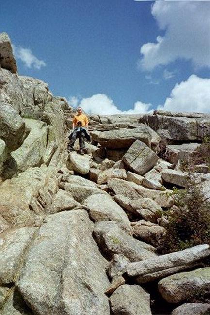
Difficulty: Moderate to Difficult
Distance: 6.6 – 8.5 miles depending on route
Elevation Gain: 2224 feet
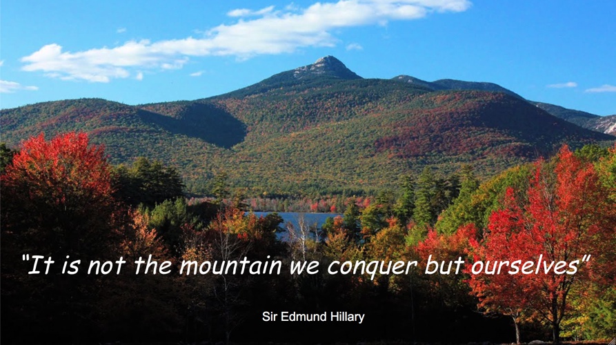
So why Mount Chocorua?
Really it’s quite simple. My mother introduced my brothers and I to the beautiful outdoors of Maine and New Hampshire through downhill skiing and camping each year. I clearly remember driving to White Lake State Park in New Hampshire for an annual summer camping trip when she pointed out Chocorua while driving her 1976 VW microbus. She went on to explain that she hiked to the summit with her Dover, NH high school outing club and had a distinct memory of how rigorous the hike was. And every year when we drove through the White Mountain National Forest she would reminisce about that hike she had taken decades earlier.
So I’ve had this mountain on my bucket list since my early childhood but never got around to hiking it. Now’s the time!
Great trail description here provided by the Chocorua Lake Conservancy.
Please note, leader approval is required to participate on this hike. Please don’t make travel arrangements until directed by the leader. You will make your own travel arrangements to the trail head.
Would you like to climb up Mount Chocorua?
Do you need a guide?
Contact us at: liam@liamcrotty.com
A list of future hikes we’ll be doing: click here.
A good trail map of Mount Chocorua

3430 Kancamagus Hwy, Albany, NH 03818