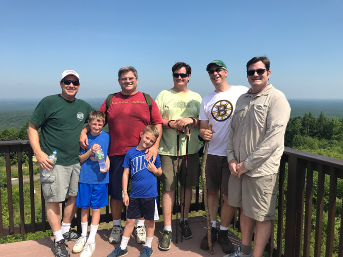
During my annual family vacation in Maine, this year we took the family and friends on an easy hike to the top of Mount Agamenticus in York.
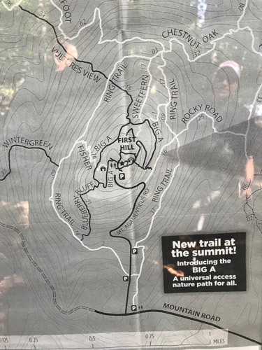
We chose “The Big A” (as many locals call it), because my nephews joined us on the hike and they had never climbed to the top of a mountain. I thought it would be a good “starter” hike for them.
The Big A is a perfect hike for anyone who has never done any hiking.
We started at the base or 1st parking lot, took the “Ring” trail and got to the top in about 40 minutes. Going down was probably only 30 minutes.
After doing the hike I wanted to read a little bit about the history of the mountain. It turns out some out-of-state developer named Zahn had plans to build 3,500 houses on the mountain but gave up the idea after massive opposition from York and Berwick residents. I’m so glad this site has been set aside and is protected.
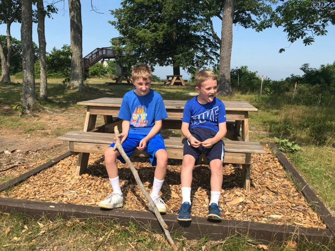
It turns out we didn’t have to worry about them at all. For every 100 yards we adults hiked, my nephews probably hiked double or triple that–running ahead of us and then coming back. They could have walked all day.
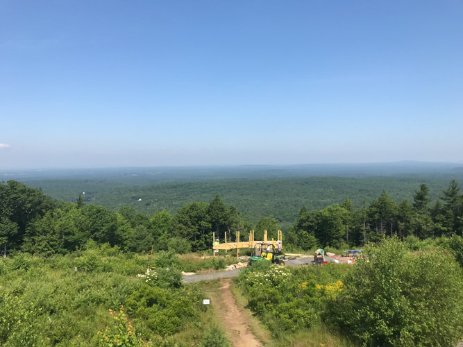
There’s usually a great view from the top out to the ocean but it was really hazy so we couldn’t see the water.